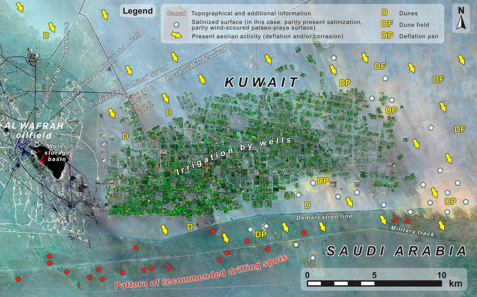
In order to direct intrusive exploratory drilling, Anthesis UMR assessed water resources in Kuwait and the Kingdom of Saudi Arabia using proprietary remote sensing technology (DRYSATMAP®).
Using satellite imagery and professional interpretation of existing water and landscape features, topography and morphology, the Anthesis UMR team identified and provided a series of locations for further near-surface groundwater resource assessment using appropriate drilling and well testing techniques.
If you would like to learn more, or request a web demonstration, please contact Ulf Siefker at Anthesis UMR.


